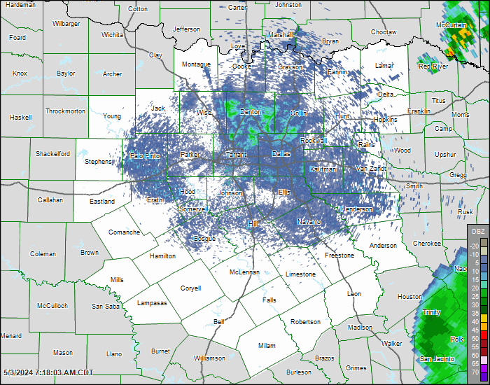
North Texas Graphical Warnings
The graphical severe weather warnings project (GWARN) represents a collaborative effort between the National Weather Service (NWS) Fort Worth, TX, the NWS Southern Region Headquarters, and the North Central Texas Council of Governments (NCTCOG). Using the warning polygon area, a demographic database at NCTCOG is queried to determine characteristics of the population at risk. This has served as a model for numerous other integrations of demographics data into weather impacts. Below are current National Weather Service warnings mapped and presented with estimated populations in the impact area.
Current Weather Warnings For North Texas |
|
A joint venture between the National Weather Service Fort Worth (NWS) and the North Central Texas Council of Governments, |

| Tornado | Severe Thunderstorm | Flash Flood | Special Advisory |
| Click Polygons on Map for More Detail. More Information |
