
New & Notable
The next Decennial Census is in the Development and Integration phase of planning. The link below has more information on the 2030 Census and the role of local governments.
Learn More
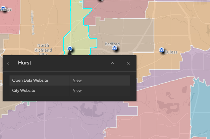
Many local governments make their data accessible through data sharing sites. The links below can help locate datasets.
Cities with Data Sharing
County and Appraisal District Websites
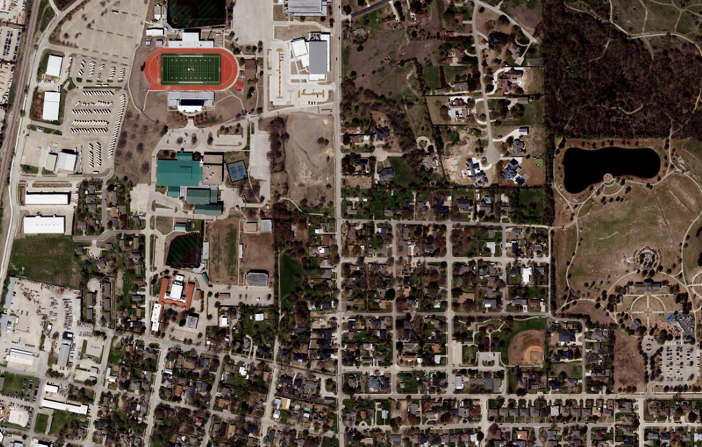
The order form for 2027 spatial data cooperative projects will open soon and will remain open until the end of September. Available data include orthophotography, LiDAR, and derivative products like building footprints and roads.
Visit the Portal

NCTCOG is again partnering with Nearmap to provide recurring orthophotography and/or oblique imagery to interested local governments. New contracts will be available starting December 1.