Transportation Maps

 
This page is still maintained, but for an enhanced experience please consider visiting:
  • the agency's redesigned ArcGIS Online homepage, which features an enhanced map gallery
  • DFWMaps, which allows for interactive browsing of the layers presented in many of these maps
 
Mobility 2045 Update Recommendations Mobility 2045 Update Roadway Performance Historical Traffic Counts
Map thumbnail linked to interactive map that outlines Mobility 2045 Update's recommendations Map thumbnail linked to interactive map of Mobility 2045 roadway performance A smaller image of NCTCOG's interactive traffic count map including Bicycle and pedestrian, permanent traffic, and vehicle counts and data.
Environmental Justice Index Transit Accessibility Improvement Tool Regional Ecosystem Framework
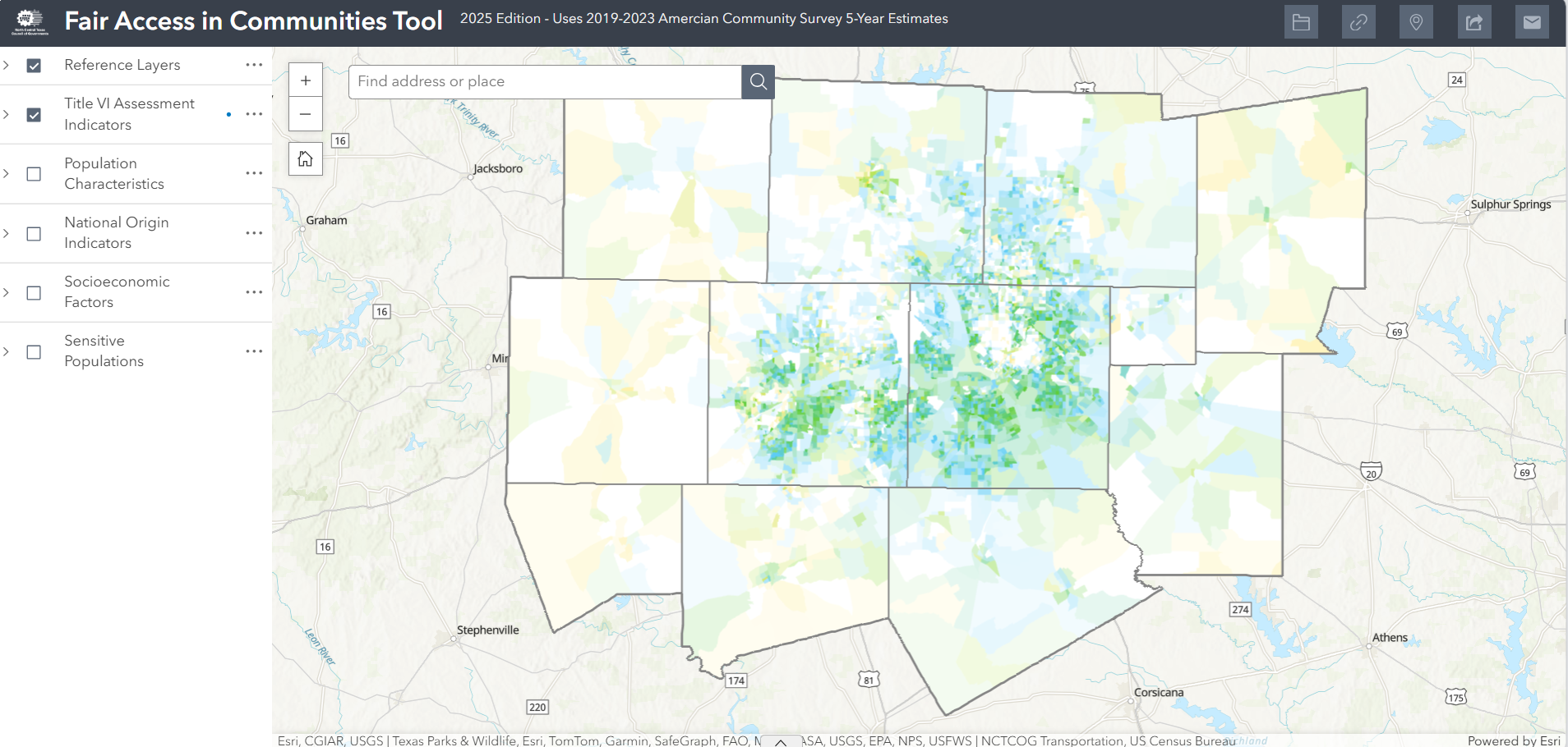
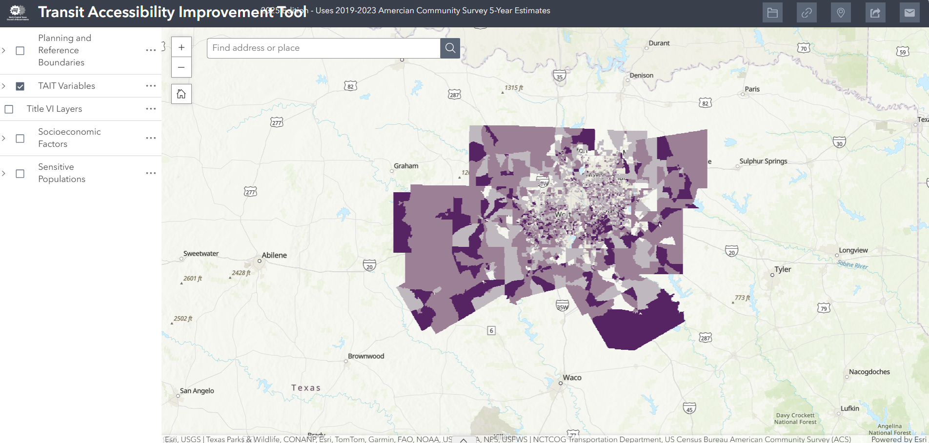
Thumbnail of an interactive Environmental Justice Index in North Central Texas previewing a population and minority density around Tarrant, Dallas, and parts of Collin and Denton counties. Thumbnail of the Transit Accessibility Improvement Tool linked to include a 2021 updates on transit services areas. Small map preview linked to Regional Ecosystem Framework active viewer tool
Transit-Oriented Development Trails and On-Street Bikeways Network Sustainable Development Infrastructure
Preview of NCTCOG Transit-Oriented Development (TOD) Map displaying rail stations, existing rail lines and station areas. Map thumbnail of trails, off-street bikewaysand on-street bikeways in North Central Texas. Preview of current NCTCOG Header Controller Sustainable Development Infrastructure Projects in the DFW area.
Bike and Pedestrian Crashes Economic & Environmental Benefits of Stewardship Public Transportation Provider Service Areas
This is a thumbnail of the DFW Metropolitan planning area (16 counties around Dallas and Fort Worth) showing bicycle and pedestrian accidents linked to the actual map in 2016-2020. This is a preview to the Economic & Environmental Benefits of Stewardship page with the user guide, Project Evaluation Tool, and stewardship information. This is a thumbnail of the public transportation provider services in the DFW area. For more information, call James Mclane at 817-704-5636
Map Your Experience MTP-TIP Consistency Verification Tool Metropolitan and Micropolitan Statistical Areas (PDF)
Splash Screen for Map Your Experience tool Splash screen for NCTCOG's MTVT tool Preview of map displaying Metropolitan and Micropolitan Statistical Areas in North Central Texas.
NCTCOG Region and Metropolitan Planning Area (PDF) Urbanized Areas (PDF) Nonattainment Areas (PDF)
Map thumbnail of NCTCOG's counties within their region. Including: Wise, Parker, Tarrant, Dallas, Palo Pinto, Erath, Rockwall, Somervell, Hood, Johnson, Ellis, Denton, Hunt, Navarro, and Kaufman. Small map thumbnail of urbanized areas based on the US Census of 2010 displaying a focus on Dallas, Tarrant, and parts of Denton and Collin counties. Small map thumbnail of 8-Hour Ozone NAAQS Nonattainment Areas from 2008-2015 displaying ozone monitoring sites scattered around the entire metroplex, as well as Metropolitan planning area boundaries.