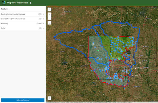
Map Your Watershed!
The Map Your Watershed! tool allowed communities to identify infrastructure and environmental features that face frequent flooding or whose presence could mitigate flooding. These features could include roads that are covered with water during heavy rain; green infrastructure, such as detention ponds that retain stormwater; or open space planned for enhancement, such as recreation trails. The stakeholder-identified flooding hotspots were used to validate TSI modeling outputs.
Although the TSI study has concluded, communities are still encouraged to visit the Map Your Watershed! website to submit points on the map.